Maps and access
GPS coordinates*
Latitude : 43.383307
Longitude : -0.414927
DMS : N 43° 22' 59.905" , O 0° 24' 53.737"
* geodesic system WGS 84

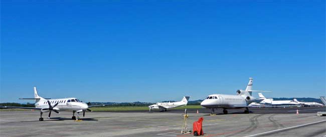
A circuit has been created especially for business aviation. Flights can be processed quickly.
Separate from commercial aviation, you benefit from the know-how and experience of a professional team who are on-hand to ensure you have everything you need.